Canyonlands Maze 2008 – Day 1
Our day required an early start from Green River Utah. I had a full day planned to start our expedition. We headed west on I 70 from Green River to the exit for Utah 24 South. Utah 24 heads south to Hanksville along the east edge of the San Rafael Reef (this will be another trip). After passing a right turn to Goblin Valley State Park we took the left heading to Hans Flat Ranger Station and Canyonlands Maze District.
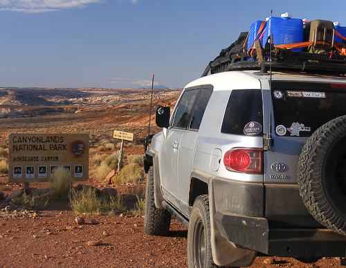
This was the last time we would see blacktop for over 160 miles. Our first destination of the day was Horseshoe Canyon Unit of Canyonlands. This is a small canyon that contains some of the older rock art in this region. This Sunday there was a ranger led hike started at 9:00 AM at the trail head. We arrived with time plenty of time to get our hiking gear ready for the trek into the canyon.
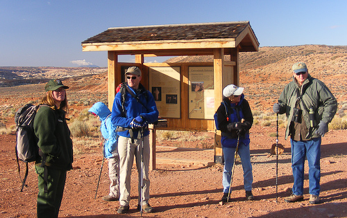
Once the ranger arrived we were able to start our decent into the canyon. The trail is an old Oil Exploration road from the early part of the 19th century. Thankfully no oil was found so the canyon has been mostly preserved. The decent is about 400 feet down to the canyon bottom and a round trip of 6 miles. The main destination was a panel of rock art called the great gallery.
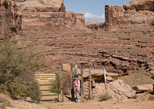
At gate has been installed by the part service to allow horse trips down to the bottom, however a permit is required for such a trip. The view into the canyon from the gate is spectacular, but watch the edge, it’s a long way down.
Once on the bottom the hike heads up canyon. (If you are here in the rainy season be aware of the flash flood dangers.)
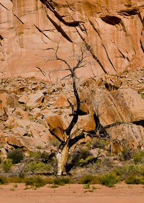
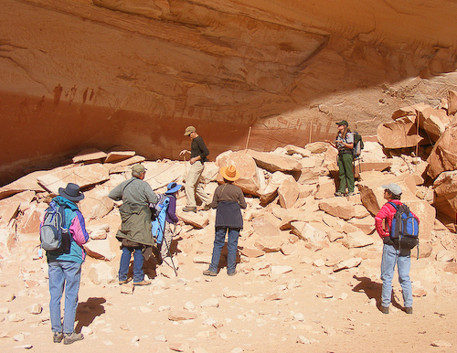
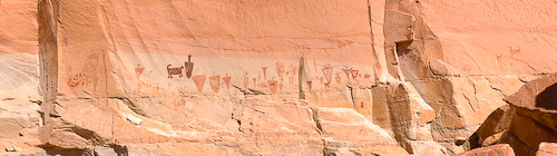
We made it to the Great Gallery and and enjoyed the fantastic rock art. The ranger gave us a tour and lecture on the panel the we enjoyed immensely Having the tour guide adds another element to an already cool hike.
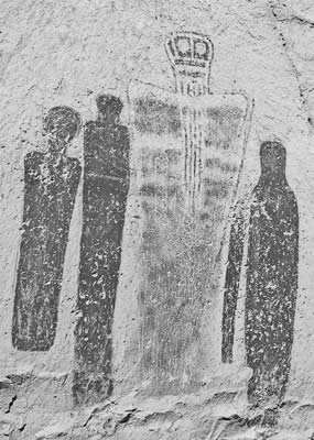
Great Gallery
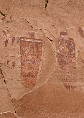
After enjoying the Great Gallery and a snack we turned back down canyon for the hike out and the drive to our first camp site.
Horse Shoe Canyon to Panorama Point
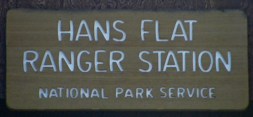
We needed to make it to the Hans Flat Ranger Station by 4:30 PM to pick up the back county camping permit that I had reserved. We arrived with plenty of time to spare.
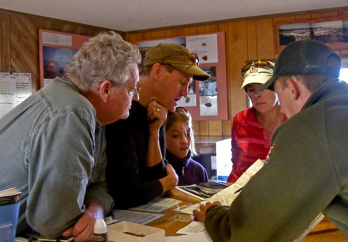
To get our permit we needed to listen to information about conservation and preservation of Canyonlands during our visit.
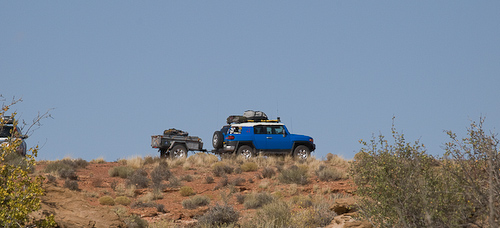
From the Hans Flat to our first camp at Panorama point took a few more hours and about 25 miles.
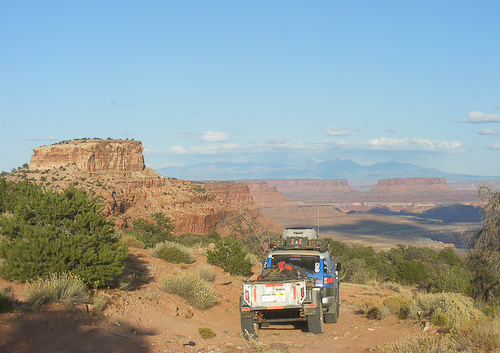
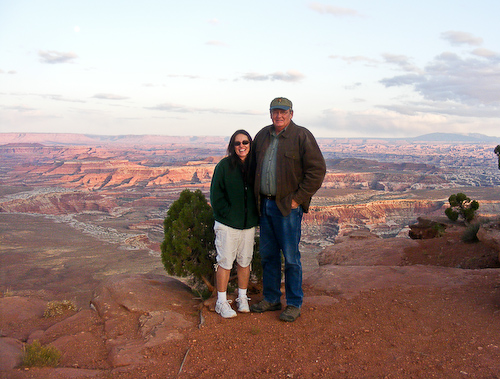
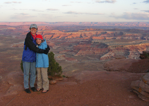
The road to Panorama point is High Clearance but does not have any technical sections worth mentioning. The road to the camp site ends about 20 feet from a 1000′ drop and wow what a view. Panorama point is a great place to begin an expedition into the Maze. Standing on the rim rock we has a full view of Canyonlands from The Island in the Sky to the north, the Maze in the foreground and the Needles District in the distance.
Hello Tomas,
I chanced upon your website while “couch touring” the Maze area. Actually, I have been reading a Jeep tour book of the Canyonlands NP and your website showed up timely to compliment it. What an exciting, memorable, and wonderfully documented trip report it is. Thanks for creating the website to share with us. I have been to the Island in the Sky and The Needles area in different trips but mainly on 2WD. The most serious drive was down the Shafer Trail and the most exciting hike was to Chesler Park in Dec. from the Elephant Trail parking lot. The hike is documented here: https://picasaweb.google.com/yuanhsiao20322/CanyonlandsNationalParkNeedles#
I have bookmarked your site and will share it with my hiking pal. Thanks
Thanks for the kind words. We are headed out to SE Utah again in the next few weeks.